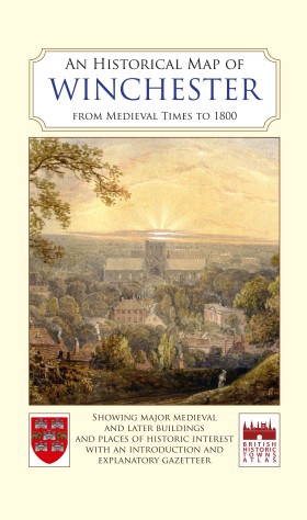
An Historical Map of Winchester From Medieval Times to 1800
The Winchester Excavations Committee and the British Historic Towns Atlas
This map of Winchester about 1800 shows the positions of the medieval and post-medieval streets and houses, the cathedral, castle, parish churches, hospitals, Winchester College and other schools, watermills and wharves, and land use both within the walls and the surrounding suburbs.
The map was compiled using the OS map of 1869-70 as its base and draws on extensive archaeological and historical evidence. Accompanied by a brief history of Winchester written by Professor Martin Biddle and a comprehensive illustrated gazetteer explaining the development of the most important buildings, this map provides an attractive visual representation of the history of Winchester.
The historic map of Winchester was re-issued and published in its current card cover form (like an OS map) in 2016.
